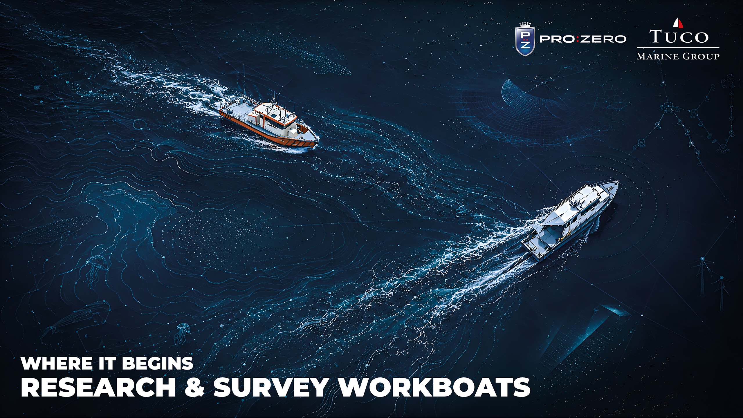
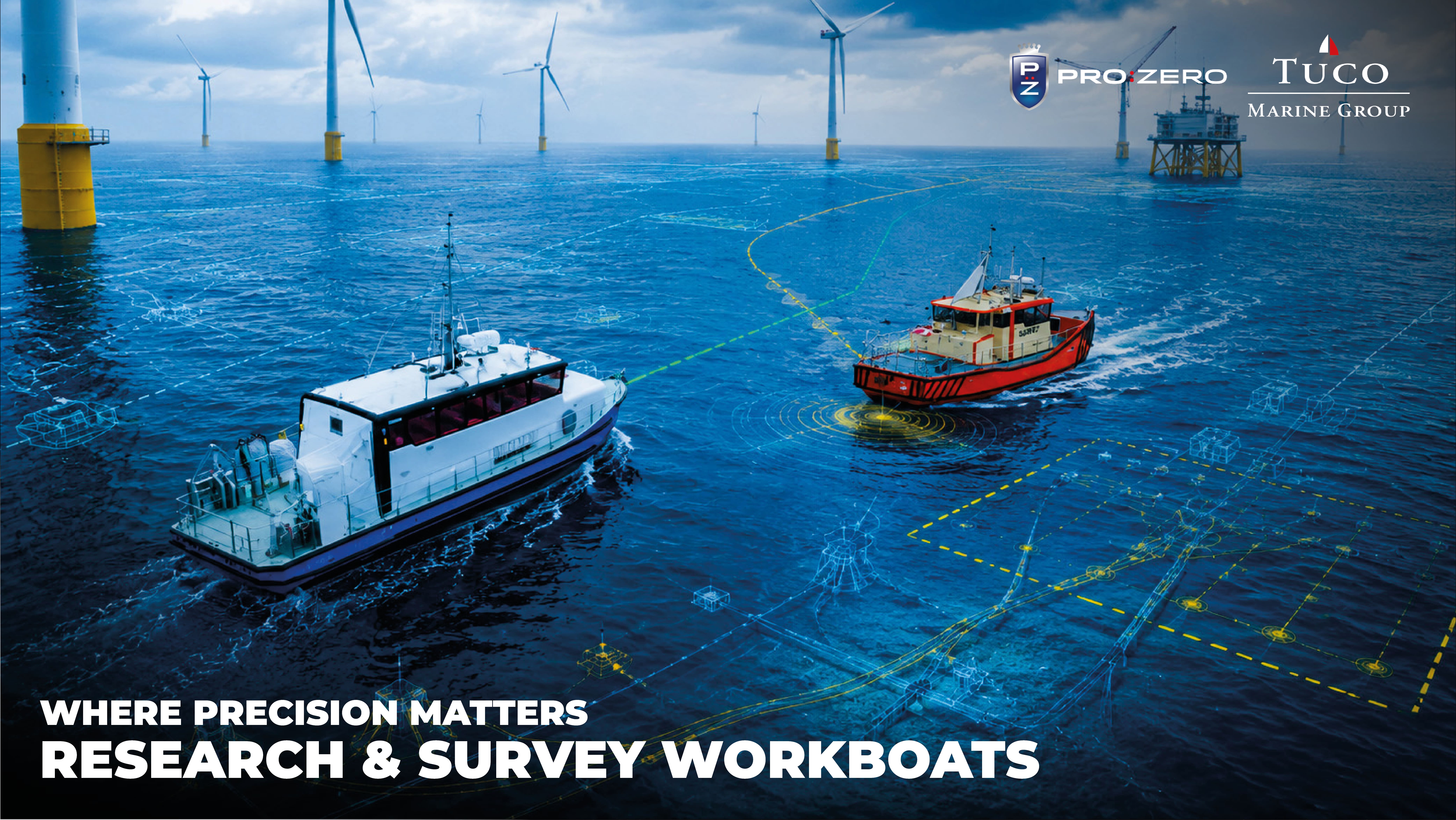
We are building and defending more on and under the sea than at any time in history: wind farms, cables, pipelines, interconnectors, ports and coastal defences. Every one of them sits on a seabed that has to be mapped before it is touched and watched for as long as it is in service. Underneath the visible engineering, the built ocean is a survey business, and the standard it must meet is exacting.
The standard that governs safe water
Before anything else, waterways have to be charted accurately enough to trust. The benchmark is the International Hydrographic Organization’s S-44 standard, now in its 6th edition, which specifies every survey by five things: horizontal and vertical uncertainty, feature detection, feature search and bathymetric coverage. Vertical accuracy is not a single figure, it is defined so a fixed allowance combines with a term that grows with depth, keeping a survey honest whether the water is two metres or two hundred. The Orders set the bar: the new Exclusive Order, written for critical harbours and channels with minimal under-keel clearance, sets a fixed vertical-uncertainty floor of about ±10 cm, with the allowable uncertainty growing with depth, to roughly ±0.3 m at 40 m, plus full seafloor coverage and detection of objects as small as roughly half a metre; Special Order now also requires 100% coverage; and Order 1a demands a complete feature search that must find anything larger than a two-metre cube in water shallower than 40 m. In a busy channel where clearance under a laden hull is measured in tens of centimetres, that is the difference between a chart you can trust and one you cannot, and much of it is worked in half a metre of water, on a hull that can survive touching bottom.
Offshore wind: a decade of survey, per project.
The scale is set in policy. At the 2023 Ostend summit, nine North Seas countries committed to roughly 120 GW of offshore wind by 2030 and 300 GW by 2050, from under 30 GW today, a build-out measured in thousands of turbines and well over a hundred thousand kilometres of cable. And none of it is surveyed once. Site characterisation, before construction, runs a coordinated sensor spread: a multibeam echo sounder for bathymetry, side-scan sonar for seabed texture and debris, a sub-bottom profiler for the shallow geology, and a magnetometer or gradiometer to find buried steel, feeding geotechnical sampling and, critically in the North and Baltic Seas, dedicated unexploded-ordnance survey. Both World Wars left the seabed littered with munitions, and UXO clearance along every cable route and around every foundation needs far denser data than a normal chart: tighter line spacing and higher ping density to resolve small individual targets.
Then comes operational monitoring, repeated for the 25-to-30-year life of the asset. The recurring questions never change: how deep is each cable buried now, its depth-of-lowering, how much scour has opened around each monopile since the last visit, and is any free span approaching the length at which vortex-induced vibration will fatigue it? Because those answers are needed again and again to a fixed plan, this is the work moving fastest onto uncrewed platforms: XOCEAN has run large seabed-survey campaigns for Vattenfall across wind farms in
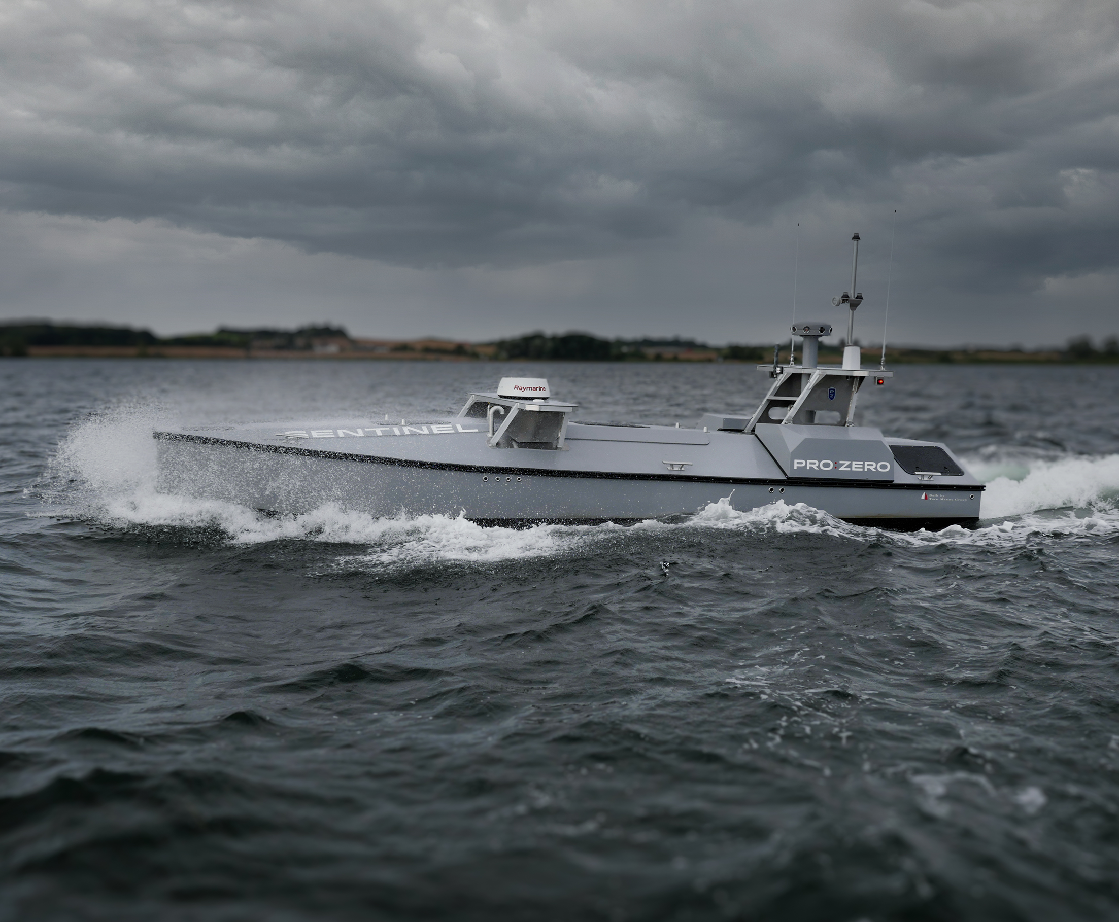
Denmark, Sweden and the UK using electric USVs, which can cut a survey’s carbon footprint by up to 99% versus a crewed vessel; and transoceanic USVs such as Exail’s DriX O-16 now offer around 30 days’ endurance and roughly 3,500 nautical miles of range carrying survey-grade multibeam. Floating wind will push the same work into deeper water still. According to Fortune Business Insights, the wider hydrographic survey-equipment market is forecast to grow from about USD 4.0 billion in 2026 to USD 6.6 billion by 2034 (other analysts put the current market somewhat lower).
Holding the coast
Coastlines are actively managed, and every intervention is bracketed by survey. Authorities run full-coverage measurement before sand nourishment and again afterwards, differencing the two seabed surfaces to confirm exactly how many cubic metres landed where they were meant to, and how the profile behaves a season later. They survey licensed sand-extraction areas repeatedly, often adding a sub-bottom profiler to map the thickness of workable sand beneath the seabed, and they inspect built structures, locks, groynes, breakwaters, revetments, where the multibeam is switched to a higher frequency (600–700 kHz) to resolve individual armour blocks and the scour developing around them. The Danish Coastal Authority has surveyed Danish waters since 1874, today to millimetre order; as sea level rises and storms intensify, that recurring evidence base is what coastal-protection budgets and safety cases are built on, and much of it happens in the turbid, shallow surf zone where general-purpose vessels cannot work.
The seabed as critical infrastructure.
What lies on the seabed is now a security question. Some 600 submarine cables carry on the order of 99% of intercontinental data and underpin well over USD 10 trillion in daily financial transactions, across more than a million kilometres of ocean floor, and the Baltic has shown how exposed they are. After Nord Stream in 2022, the C-Lion1 and BCS East-West cables were severed in November 2024, and on 25 December 2024 the Estlink 2 power cable and several telecom cables were cut when a tanker dragged its anchor for nearly 100 km; by early 2025 some eleven cables had been damaged in fifteen months, prompting NATO’s “Baltic Sentry” patrol mission. Protecting this infrastructure depends on knowing the shallow-water seabed in fine detail, holding an accurate baseline, and re-surveying on demand to detect what has changed. Shallow-water hydrography has become seabed intelligence and maritime domain awareness, work that rewards platforms able to carry autonomy and situational-awareness sensors and to be tasked at short notice.
Why the platform is the enabler.
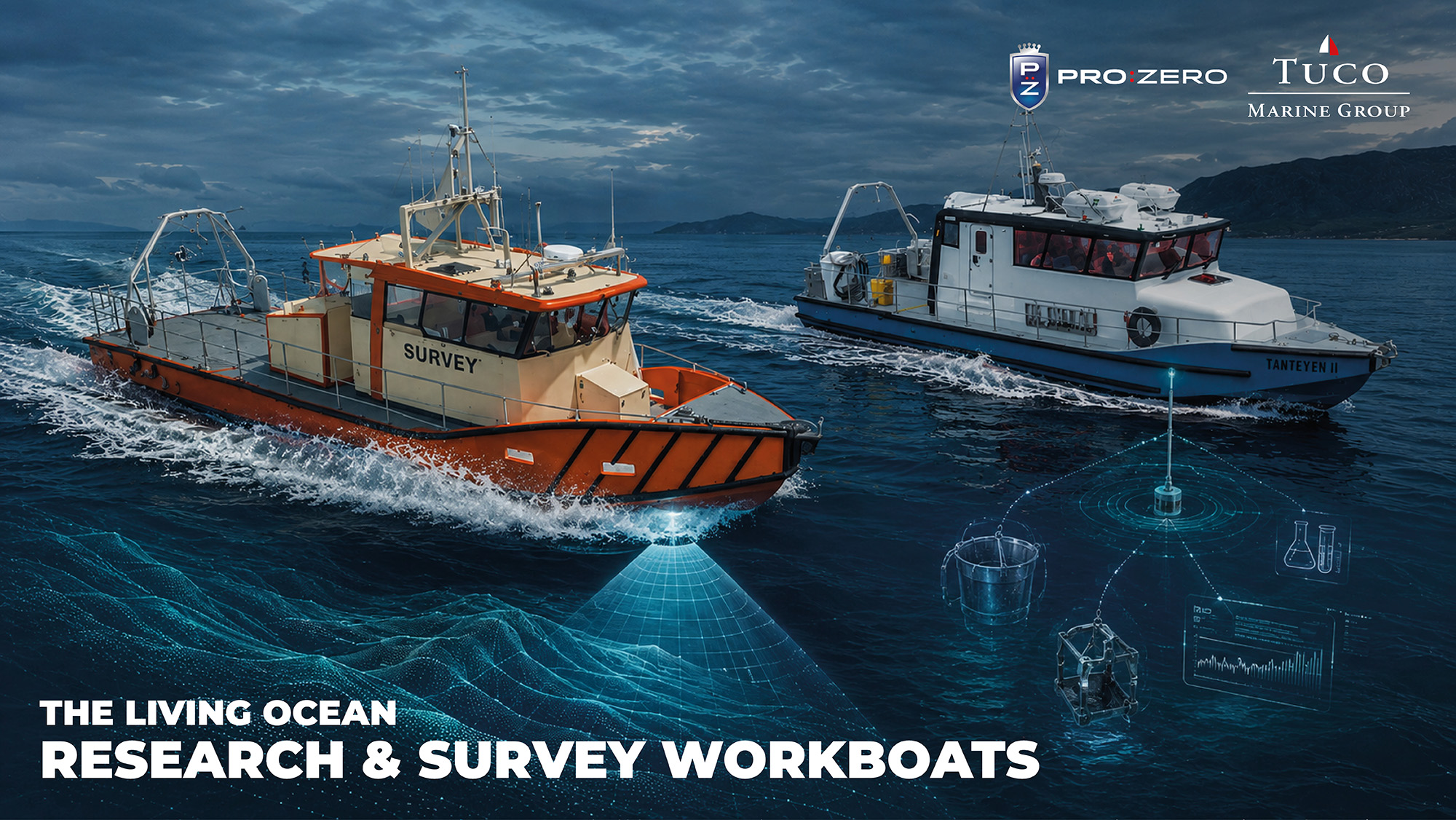
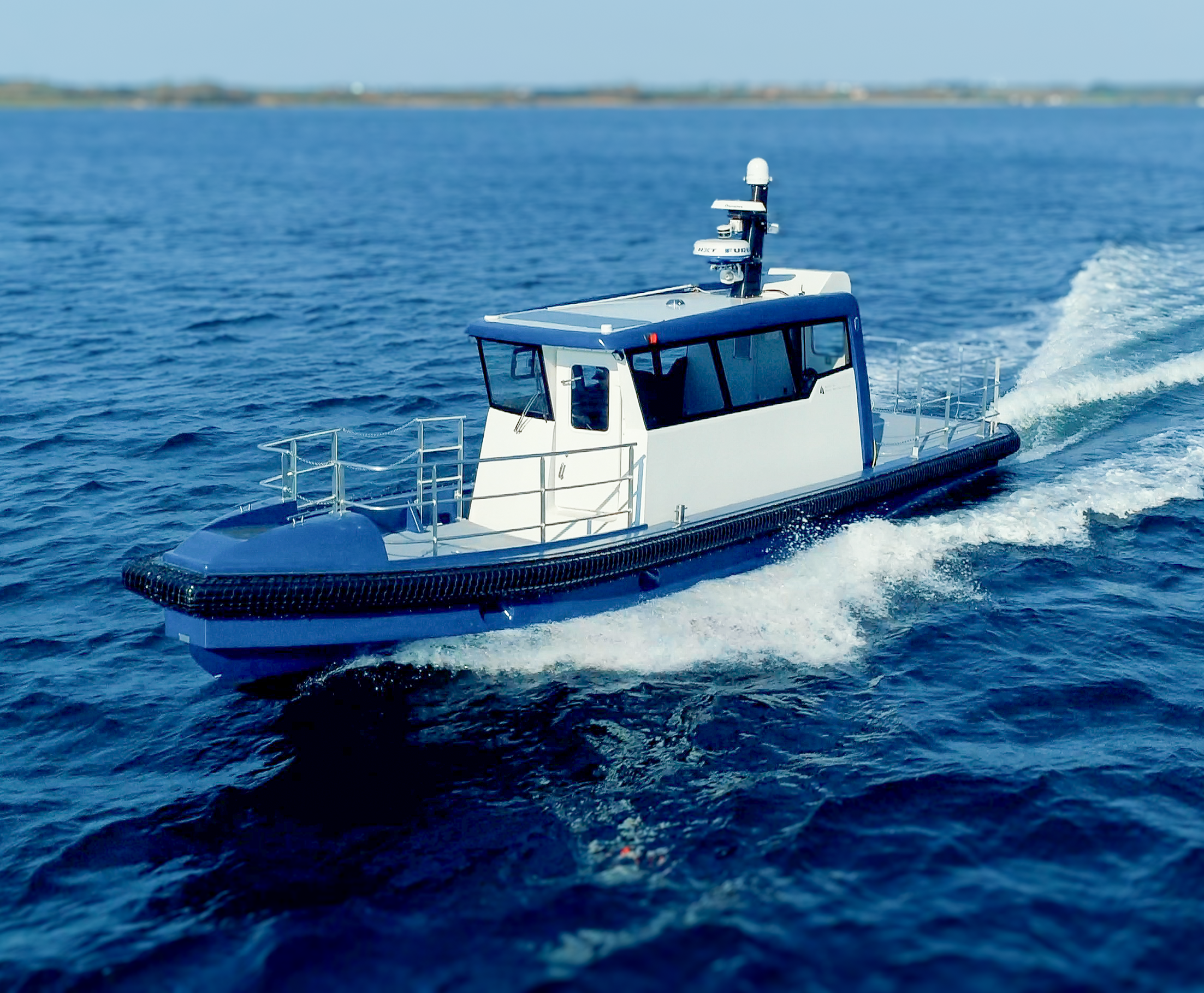
The thread through all of it is that these are not one-off jobs but decades-long programmes of repeated, standardised, high-accuracy measurement, and that rewards platforms designed around their sensors, tolerant of shallow water and grounding, cheap enough per kilometre to run often, and increasingly able to run uncrewed. European research is pushing that edge; programmes such as the Horizon Europe MERLIN project, led by the University of Birmingham, are developing long-endurance vehicles that not only map but physically intervene on the seabed. The built ocean, in other words, runs on exactly the kind of platform the final part of this series is about